.avif)

Conserving The Kelly & Antelope Flats parcels
PERMANENTLY PROTECTED 1,280 ACRES OF CRITICAL HABITAT IN GRAND TETON
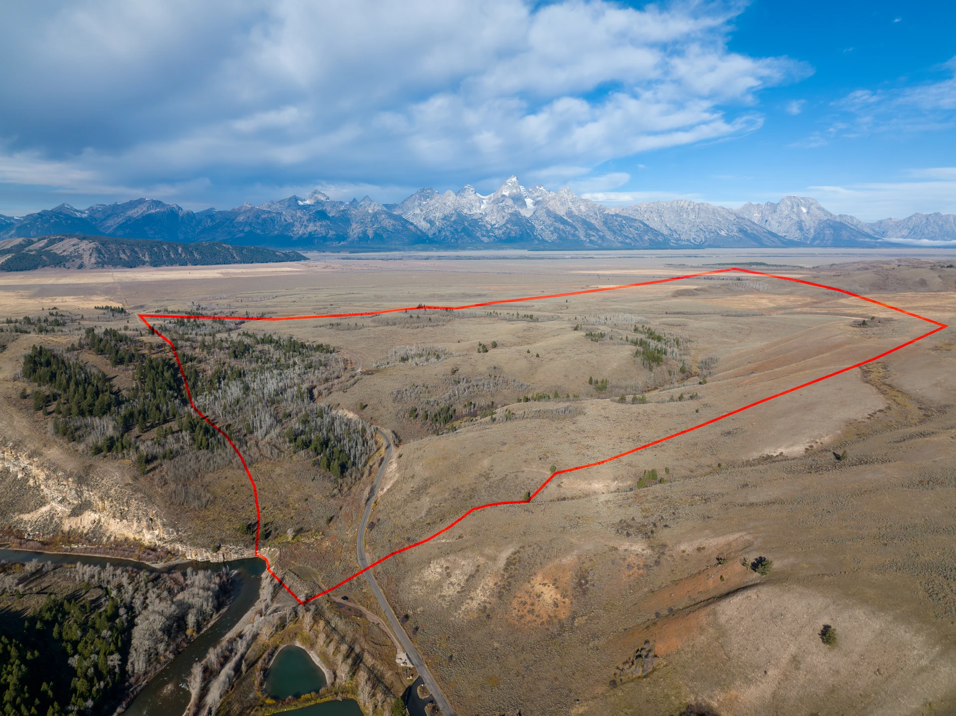
Decades of work and collaboration between Grand Teton National Park Foundation, Grand Teton National Park, the State of Wyoming, and key stakeholders culminated in the preservation of two, 640-acre inholdings within the park's boundaries.
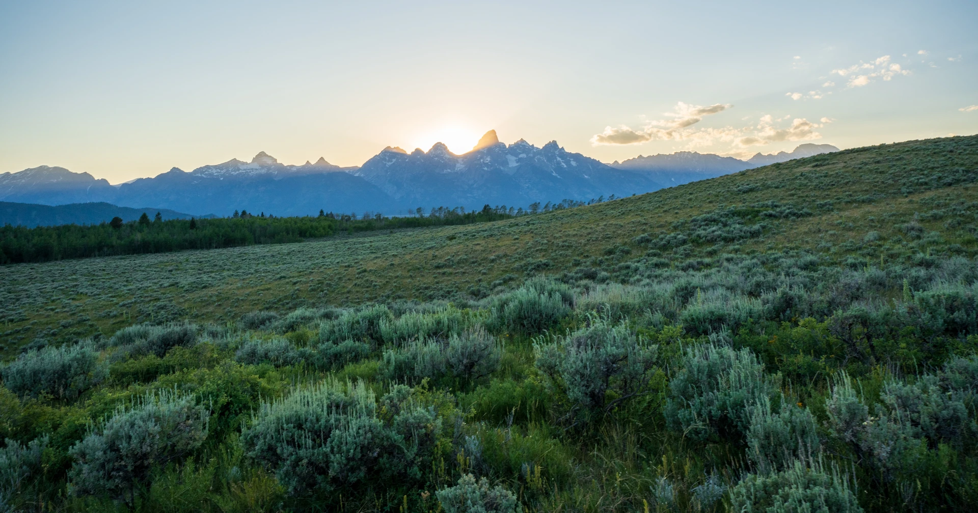
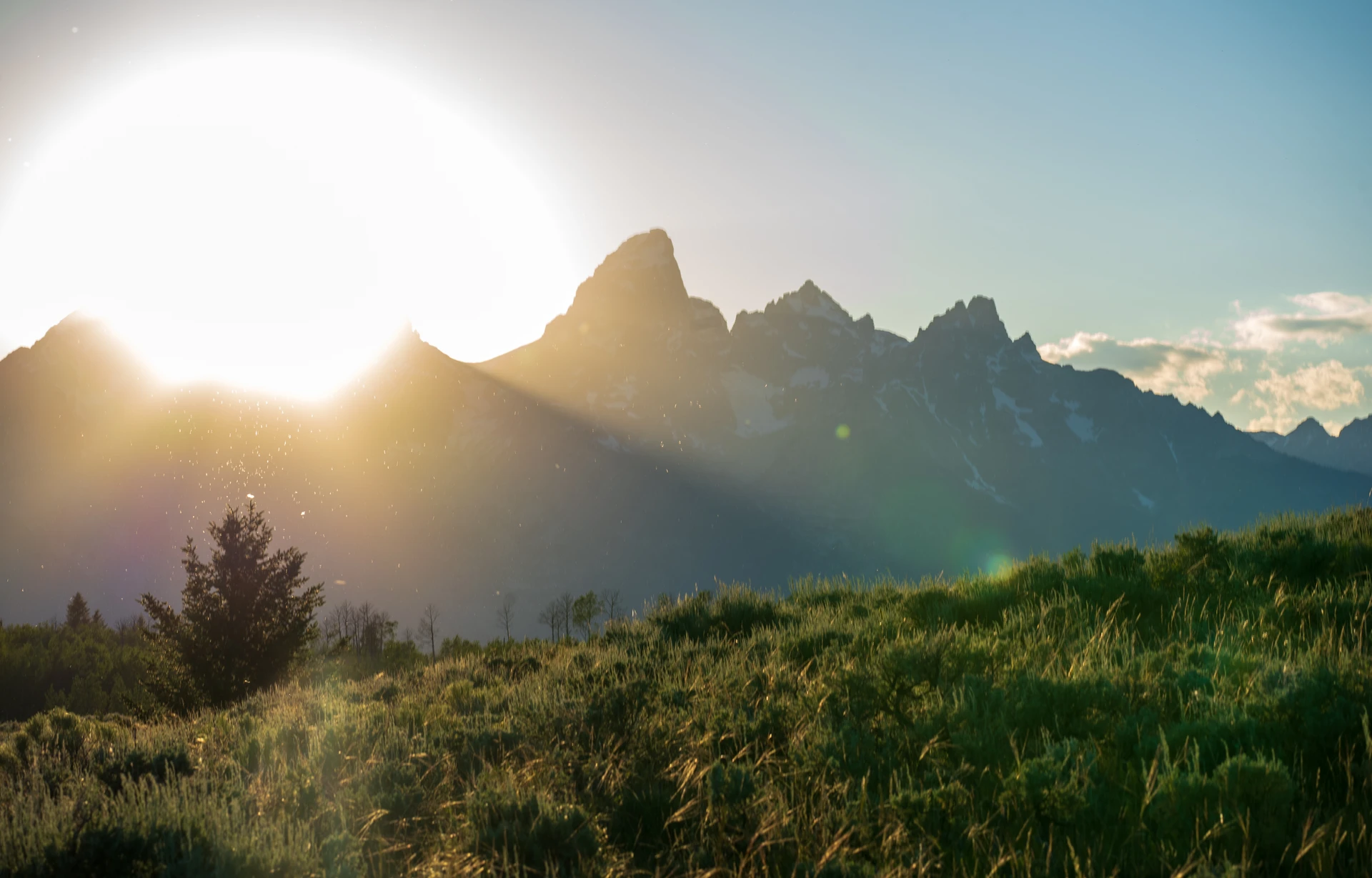
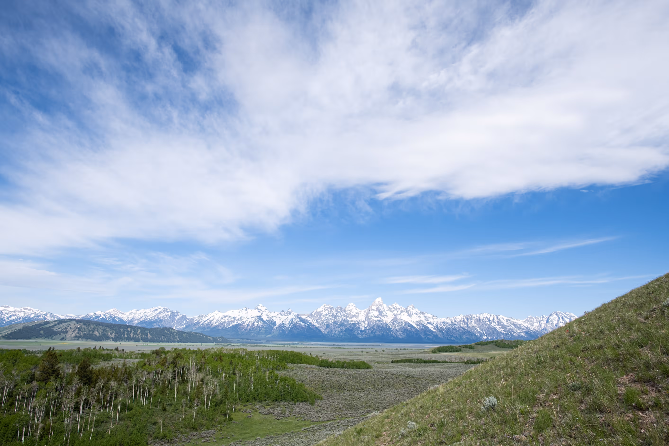
The Antelope Flats and Kelly parcels were the largest remaining unprotected inholdings within Grand Teton National Park—and among the most ecologically significant. These areas serve as critical migration corridors for wildlife within the Greater Yellowstone Ecosystem, one of the last remaining nearly intact temperate ecosystems on the planet.
Thank you to the individuals, organizations, and leaders who advocated for and invested in this preservation effort. Because of you, the wildlands and wildlife of Grand Teton National Park will continue to thrive for generations to come.
CONSERVE WILDLIFE
& HABITAT
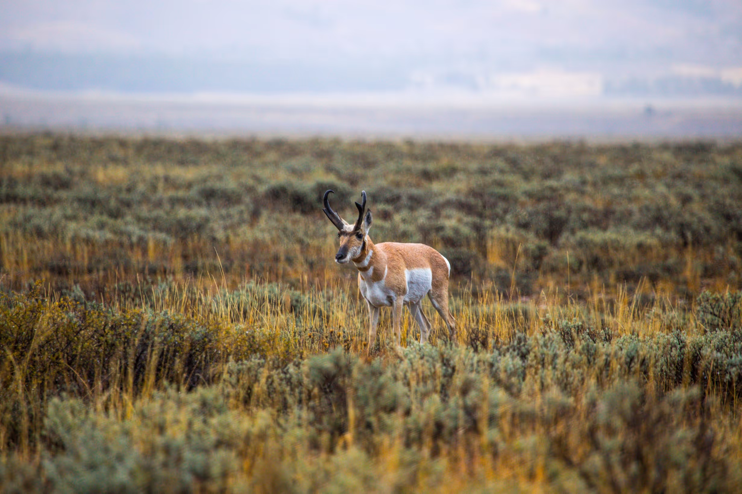
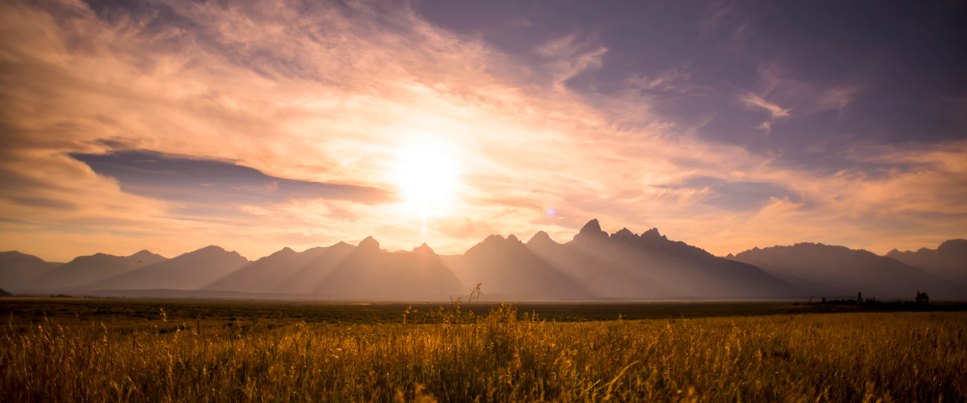
From a natural resource perspective, both parcels are invaluable. Together, they provide seasonal migration routes that have been used for hundreds—if not thousands—of years by elk, bison, moose, mule deer, and pronghorn. The Path of the Pronghorn, a lifeline that the Jackson Hole herd follows to and from wintering areas in the upper Green River basin, overlaps this land. A variety of raptors and numerous songbirds depend on these terrains for spring nesting.
The region is also a focal point for wolf activity due to the high density of ungulates, and lies within the currently occupied range of threatened grizzly bears. Without permanent protection, development of any kind could have put eighty-seven species of 'greatest conservation need,' as identified by the Wyoming Game and Fish Department, at risk.
PROVIDE FUNDING FOR WYOMING
When Wyoming achieved statehood, the Kelly and Antelope Flats parcels were set aside as state trust land—a designation that, under the Wyoming Constitution, requires these assets to generate income in support of public education.
The sale of the Antelope Flats Parcel to the National Park Service in 2016 for $46 million, followed by the Kelly Parcel in 2024 for $100 million, means the proceeds from each sale were invested into the Common School Permanent Fund, benefitting the state's schoolchildren for decades to come.
PUBLIC-PRIVATE SOLUTION
To purchase the Antelope Flats Parcel, Grand Teton National Park secured $23 million from the federal Land and Water Conservation Fund (LWCF), with Grand Teton National Park Foundation raising an additional $23 million to complete the $46 million purchase.
For the Kelly Parcel, the NPS secured $62 million in LWCF funds—a significant commitment given that the NPS is allocated just $100 million annually for land acquisitions across the entire country—while the Foundation raised $38 million to reach the full $100 million purchase price.
Together, these two acquisitions direct $146 million in proceeds to Wyoming public schools while permanently conserving an extraordinary stretch of land that will be enjoyed by visitors and protected for wildlife in perpetuity.
Grand Teton National Park Foundation and our partners are proud to have helped facilitate what amounts to a transformational gift to conservation advocates, national park enthusiasts, wildlife supporters, and Wyoming families alike.


POSTS ON INHOLDING PURCHASES: