.avif)

What Can We Learn From Grand Teton's Glaciers?
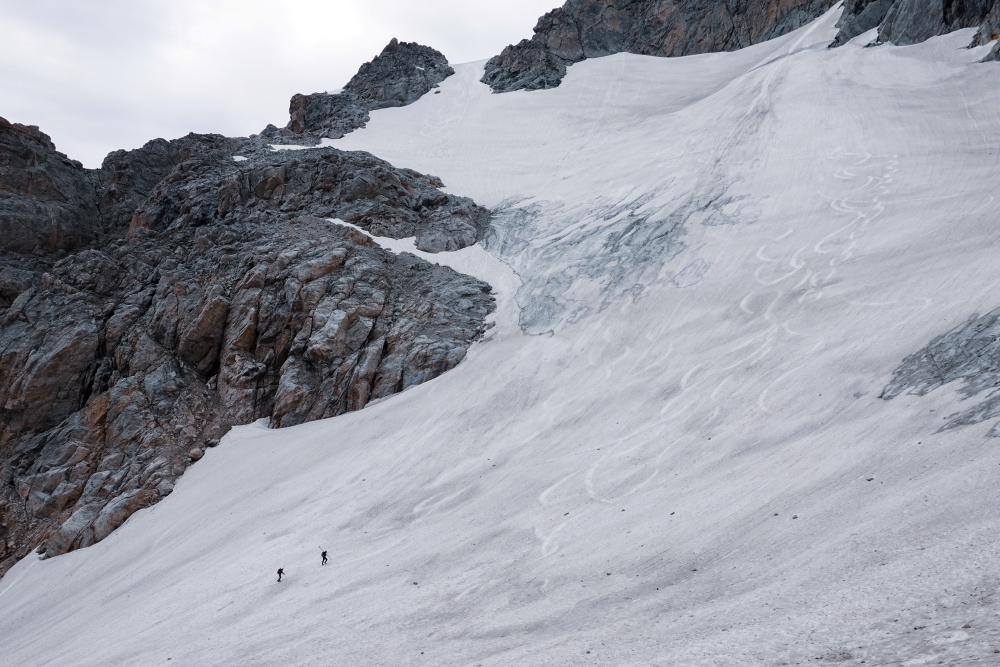
In 2022, park scientists made a quiet but significant declaration: the Teepe Glacier, a long-standing feature near the Grand Teton, was no longer active. It hadn't disappeared, but it had stopped moving downslope under its own mass: the defining trait of a glacier. After hundreds of thousands of years shaping this landscape, one of its features had crossed a threshold.
The valleys we see today in Grand Teton National Park were carved largely by glaciers moving through the terrain over hundreds of thousands of years. That legacy is still active: the park is home to over eleven active glaciers, scattered across its high alpine. These features do more than sit scenically above the valley floor. They act as a slow-release water source, feeding the streams that cutthroat trout spawn in, the wet meadows that moose and elk graze through in late summer, and the water systems that nearby communities draw from downstream. When the glaciers shrink, that supply becomes less reliable, a downstream effect that reaches far beyond the ice itself.
As summers grow longer and warmer, the park's glaciers are responding in kind. Most simply put, they're receding quickly. The Teepe Glacier's decline is the clearest marker of this shift so far, and other glaciers in the park may be on a similar trajectory as conditions continue to change.Knowledge is one of the most powerful tools in protecting these resources.
Since 2015, Grand Teton National Park Foundation has supported the park's physical science team in monitoring the park's glaciers. This is work that turns a slow, largely invisible process into hard data. The goal is to understand not just that the glaciers are changing, but how quickly, and what that means for everything downstream.
Much of this information is collected through ablation stakes: long poles drilled directly into the glacial ice. Ablation refers to the loss of snow and ice from a glacier's surface, so these stakes give scientists a direct way to measure it. The team returns to the same poles throughout the year to track how much of the stake has become exposed as the ice around it melts. That measurement, combined with how far the ice has moved downslope, allows researchers to calculate the glacier's overall health: how much ice it's retaining versus losing, and how that balance is shifting year over year. Photos and video of the glacier's surface and edges add a visual record, letting scientists see changes over time that numbers alone can miss.

But the glaciers are only part of the story, the water they release matters just as much. Alongside the ice, scientists collect measurements from the alpine streams that trickle down from these glacial masses, tracking how much water is actually reaching the ecosystem below. One of the more surprising methods to collect these data points is salt. Researchers introduce a small amount of salt at an upstream point, then measure conductivity downstream to calculate exactly how fast the water is moving: a trick that produces precise, real-time flow data.
Together, the ice measurements and the stream measurements form a fuller picture: how much water a glacier holds, how fast it is shifting, and how quickly that water is making its way to the plants, animals, and communities that depend on it.

This kind of research gives park scientists the tools to make informed decisions about protecting the landscape and the species that rely on it. It's also a reminder of what collaboration can accomplish: this ongoing glacier and stream monitoring work brings together multiple departments within the park, sustained by the private support of the Foundation, all working to make this place better than we found it.
Stay tuned for more stories from the field.
EXPLORE MORE STORIES: